
Middle Fork Salmon River Packraft – A Place for Everything
Rapids to the Left, Rapids to the Right Check out Part 1 Here. As the first day kicked off and I slid out of First Bend rapids, I was just so excited and amped...
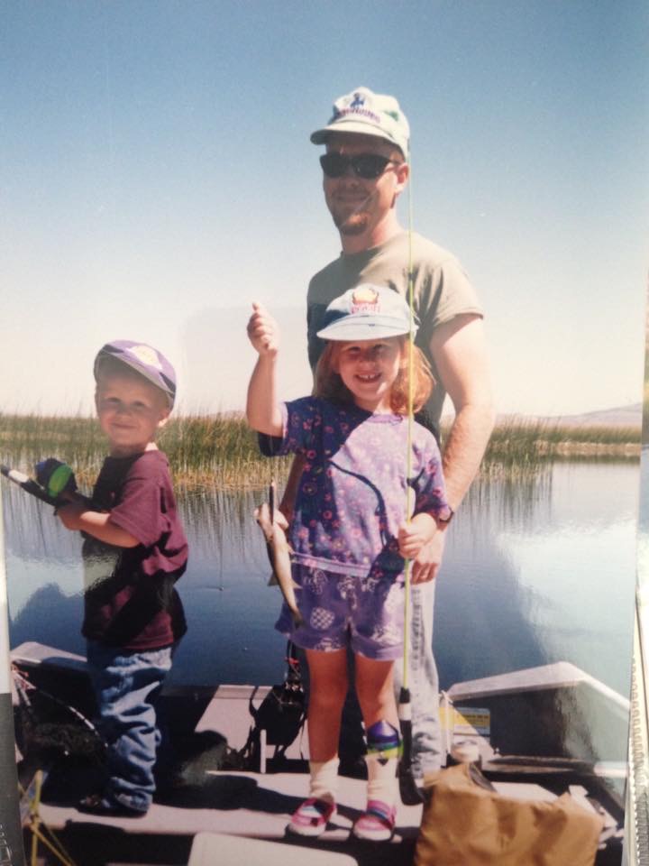
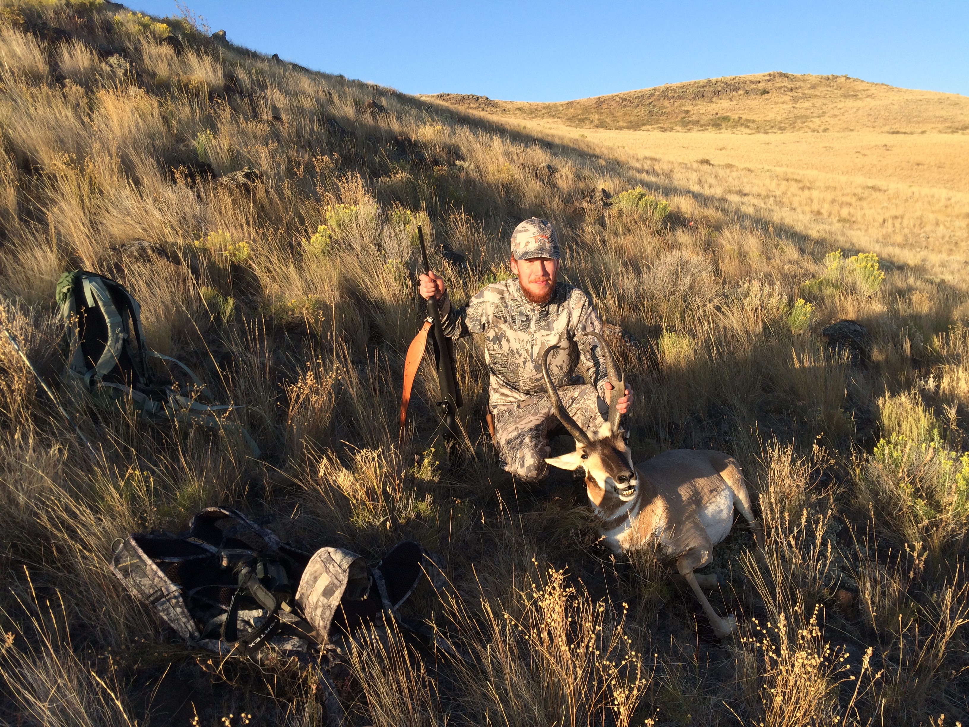
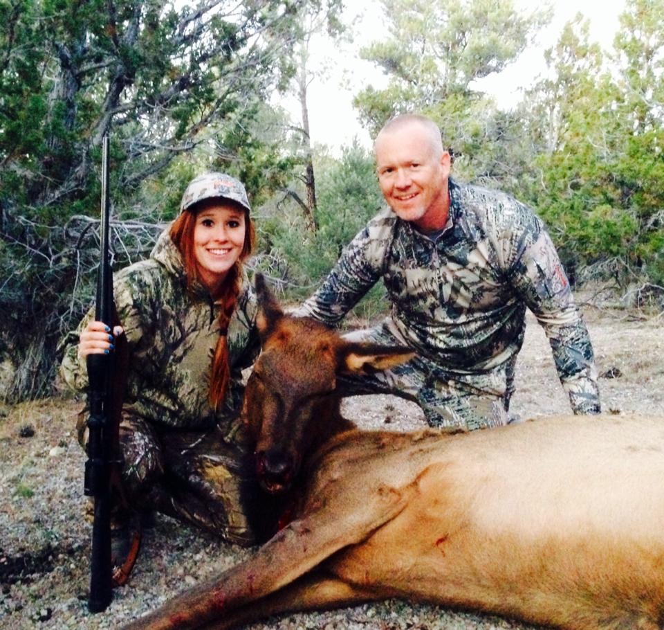
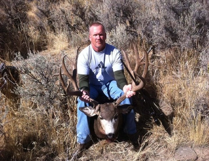
Life, the Universe, and Everything One Adventure at a Time
Rapids to the Left, Rapids to the Right Check out Part 1 Here. As the first day kicked off and I slid out of First Bend rapids, I was just so excited and amped...

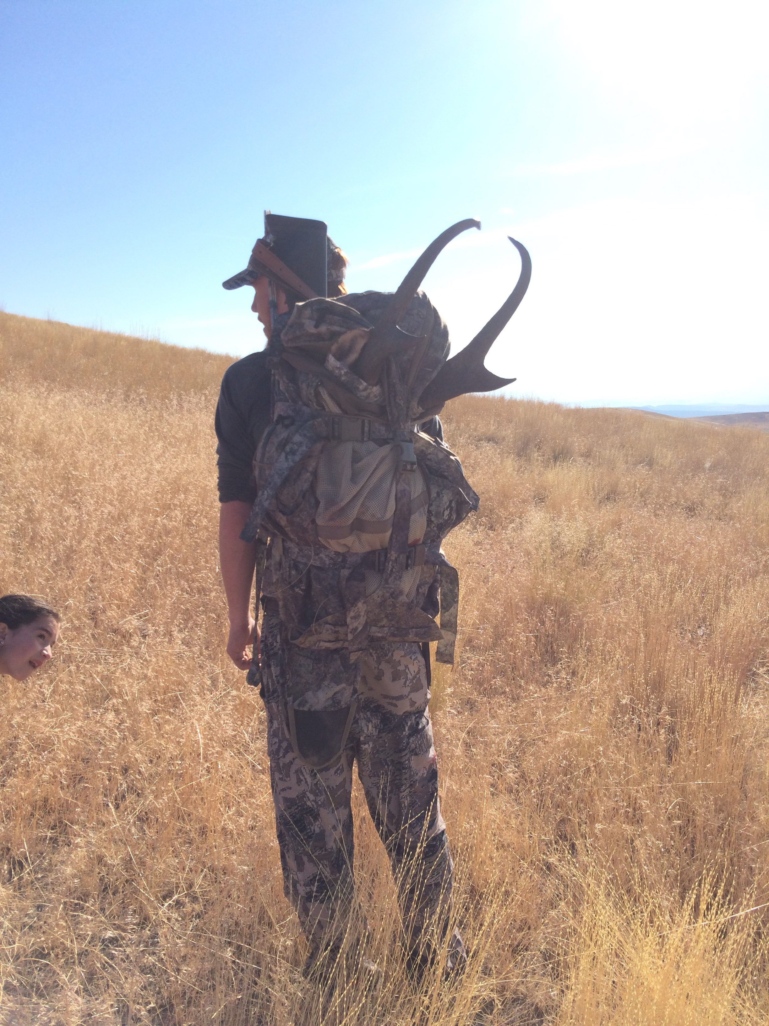
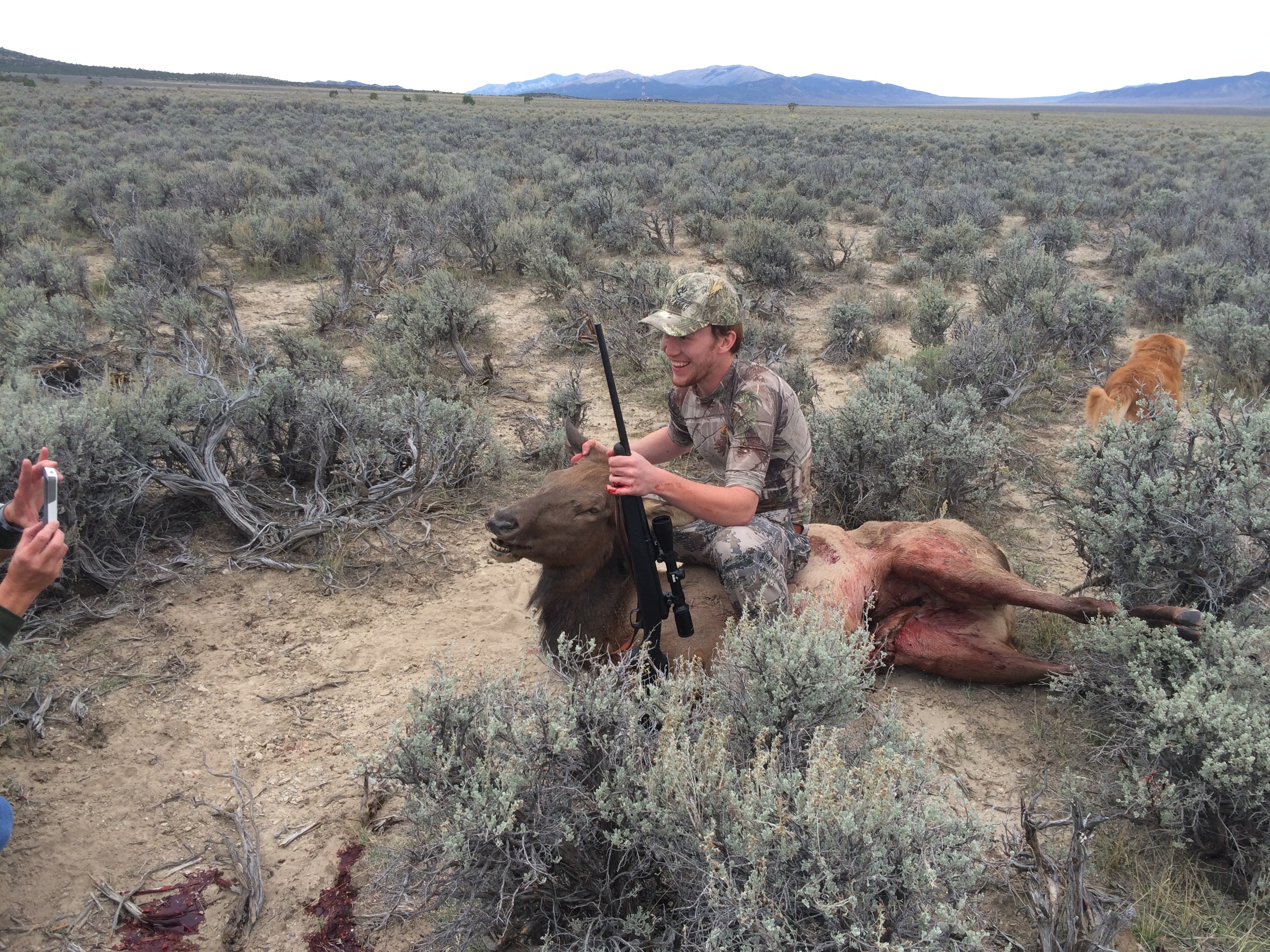
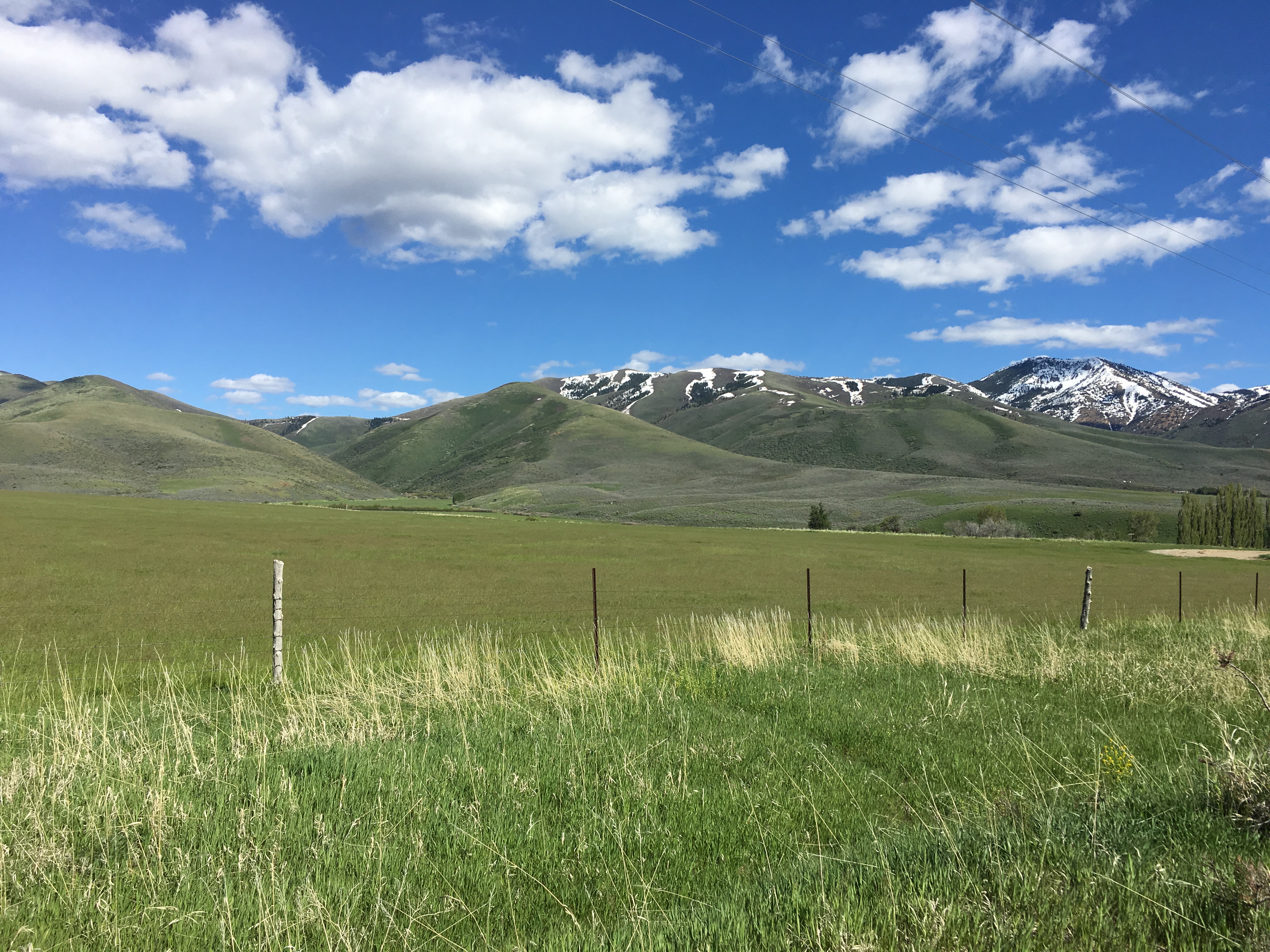
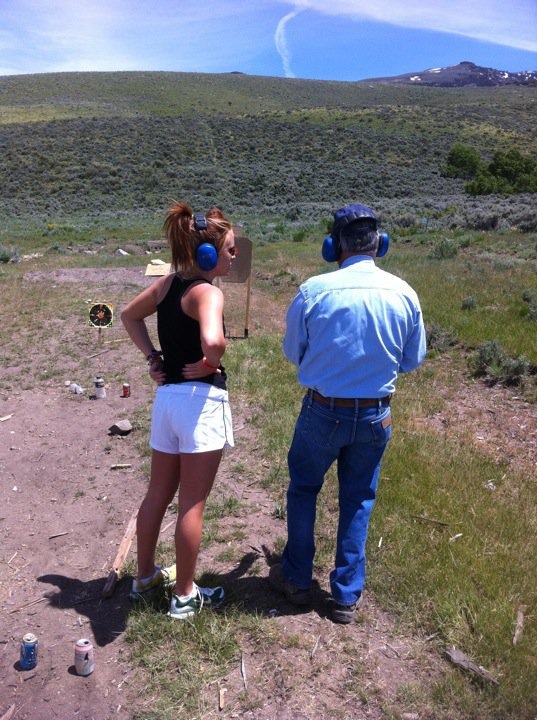
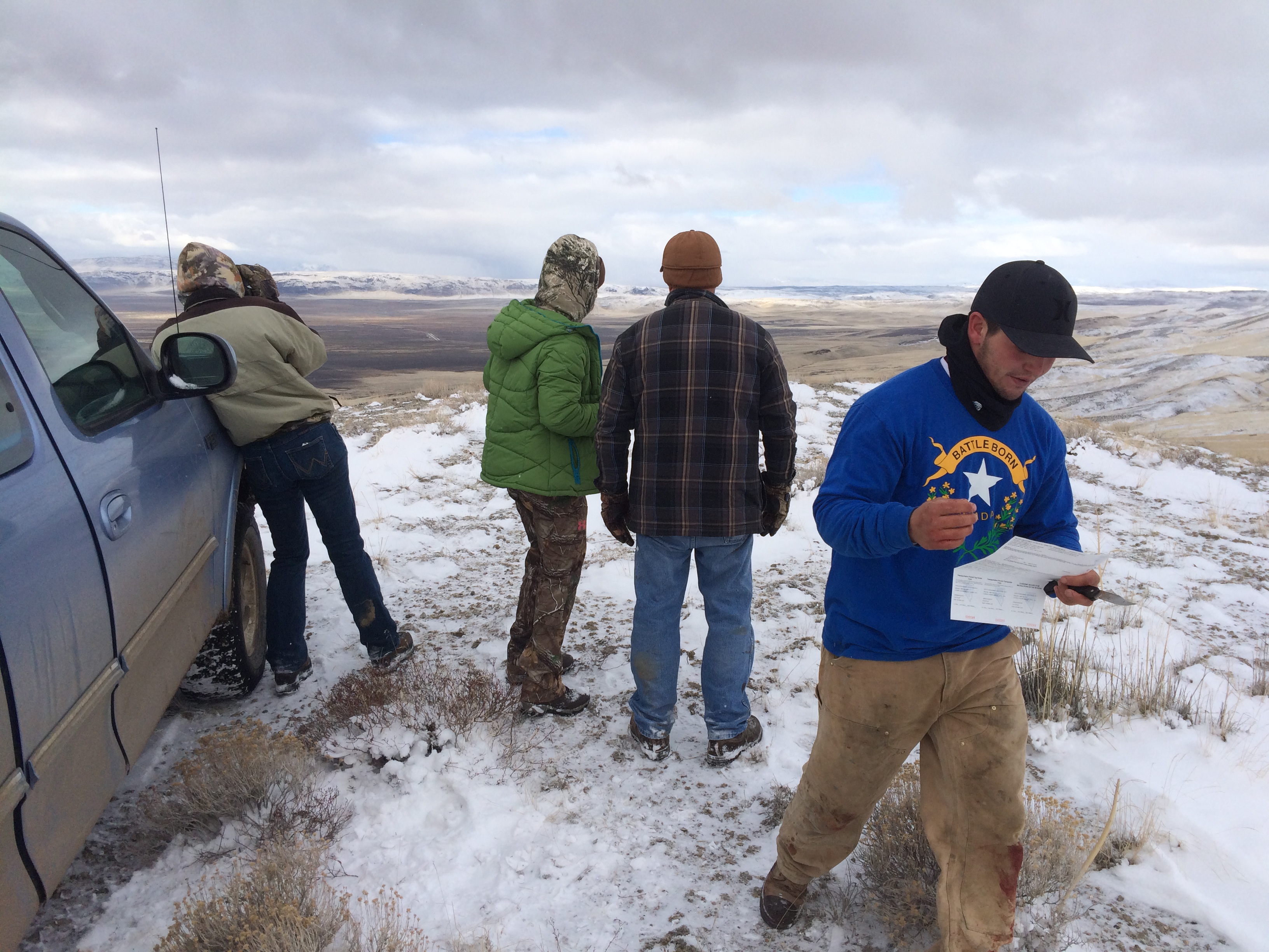
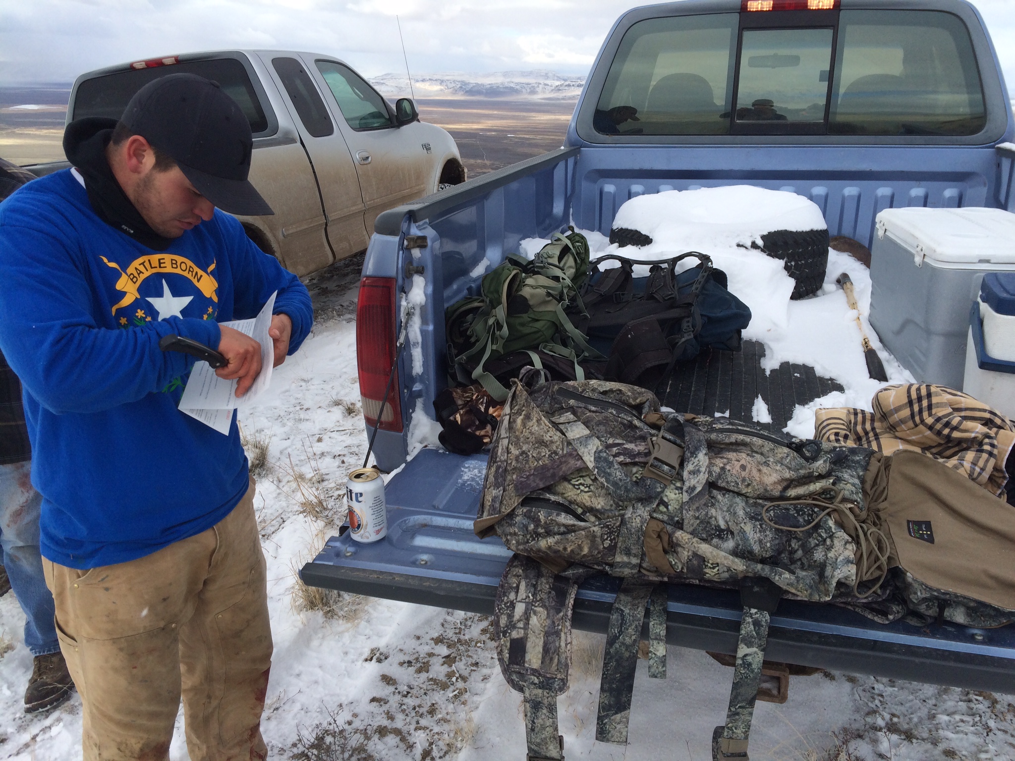
The Big 4 : Idle Threats and Dreams My friend Mike loves paddling adventures in the intermountain west. So, it was only natural that as I was Jonesing for my packraft last winter I...

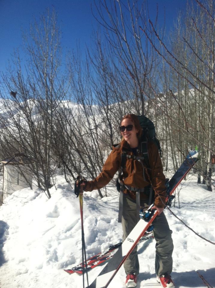
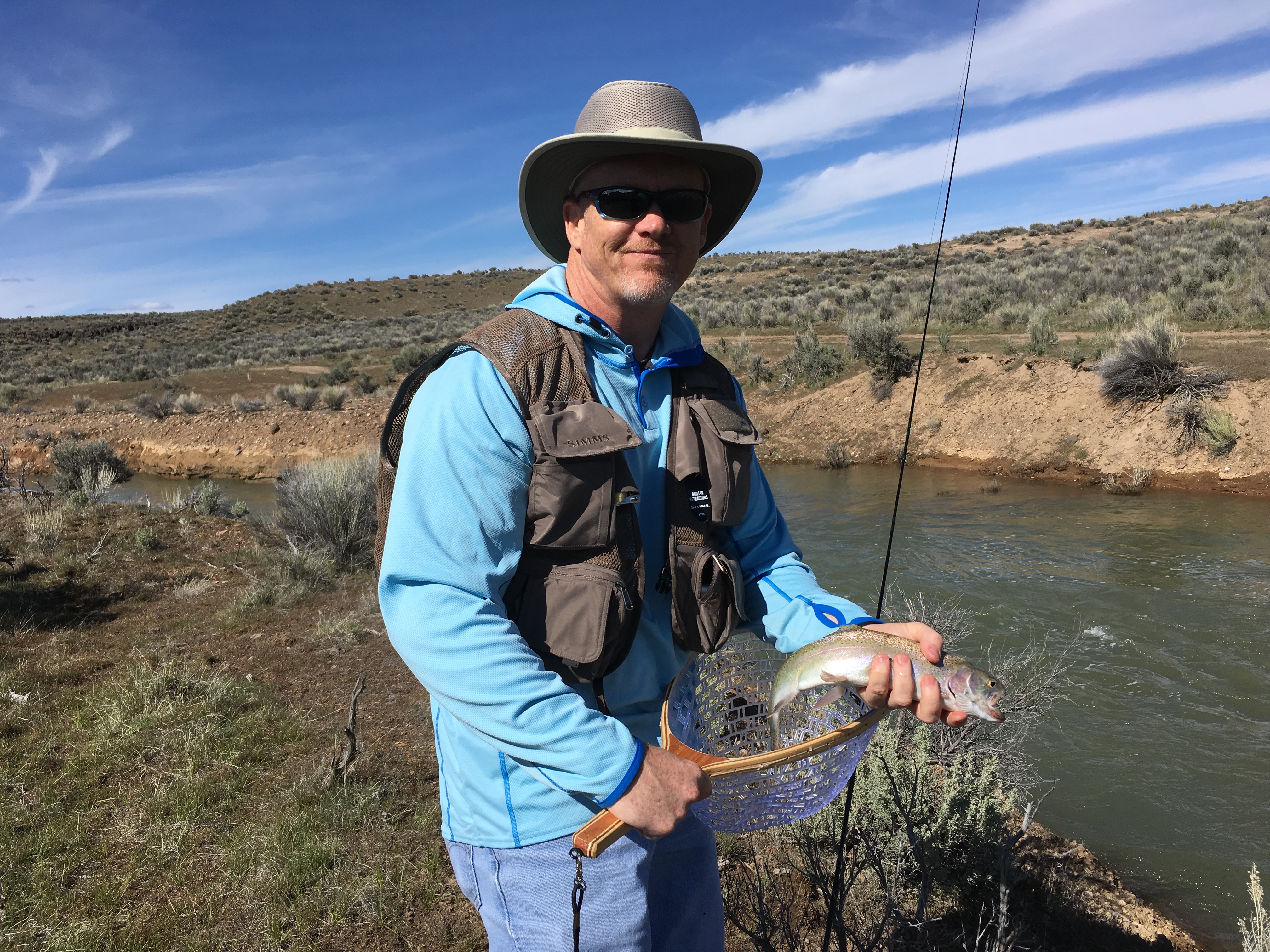
Part 1 of My Packrafting Journey – We’re Doin’ This! I spent a lot of time in November and December of last year looking into packrafts and the whole sport of packrafting. Alpackarafts clearly...

Adventure / Camping / Paddling
by sboyce42 · Published January 16, 2022 · Last modified April 9, 2022
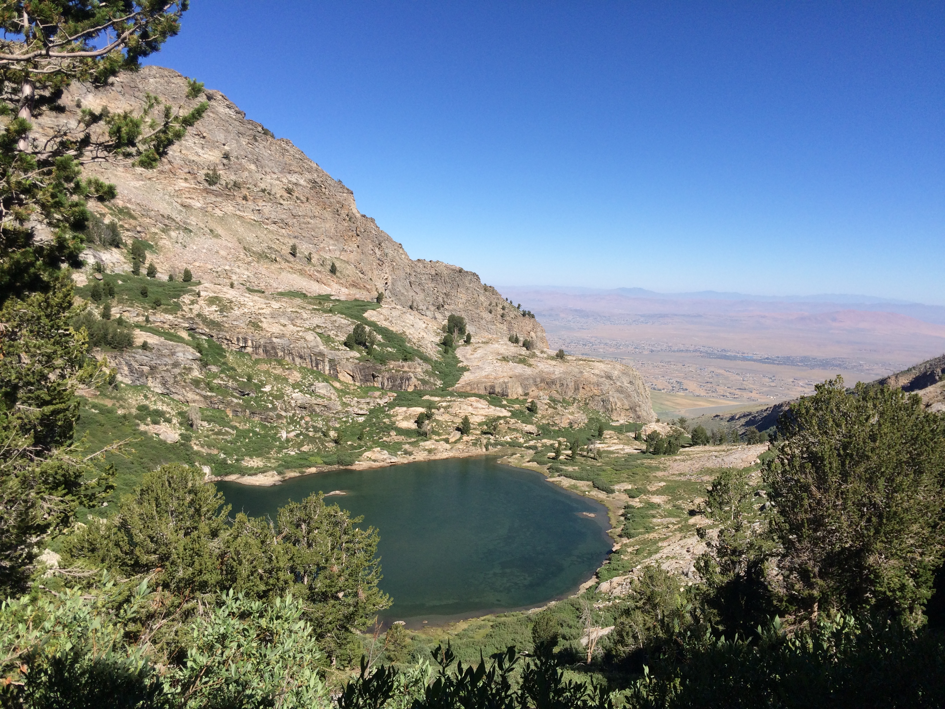
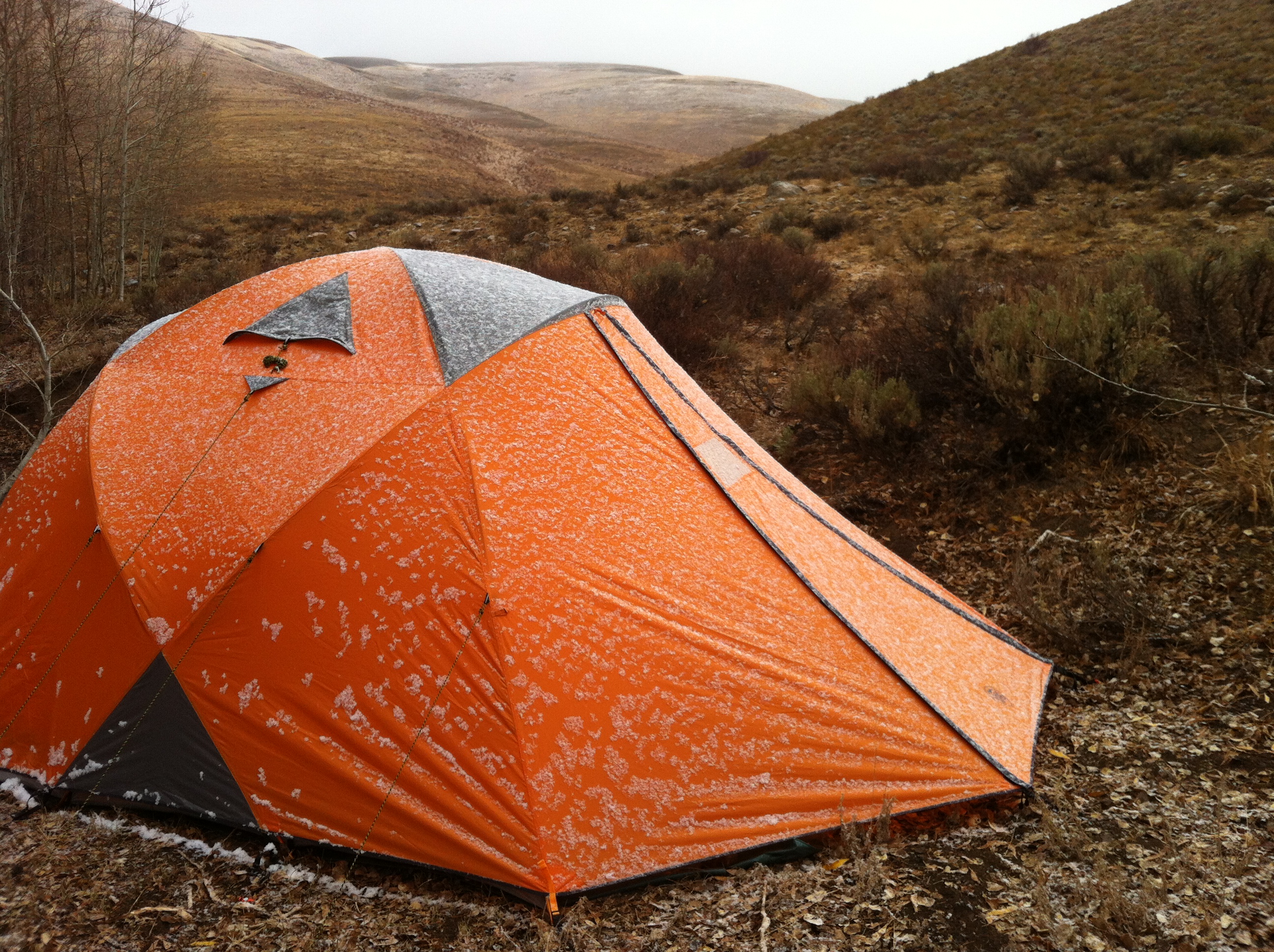
Read the other sections here: Part 1 / Part 2 / Part 3 East Fork Owyhee Day 4 – Can you Believe it? Our final camp was the most relaxing of all. At this...

Adventure / Camping / Paddling
by sboyce42 · Published November 6, 2021 · Last modified April 9, 2022
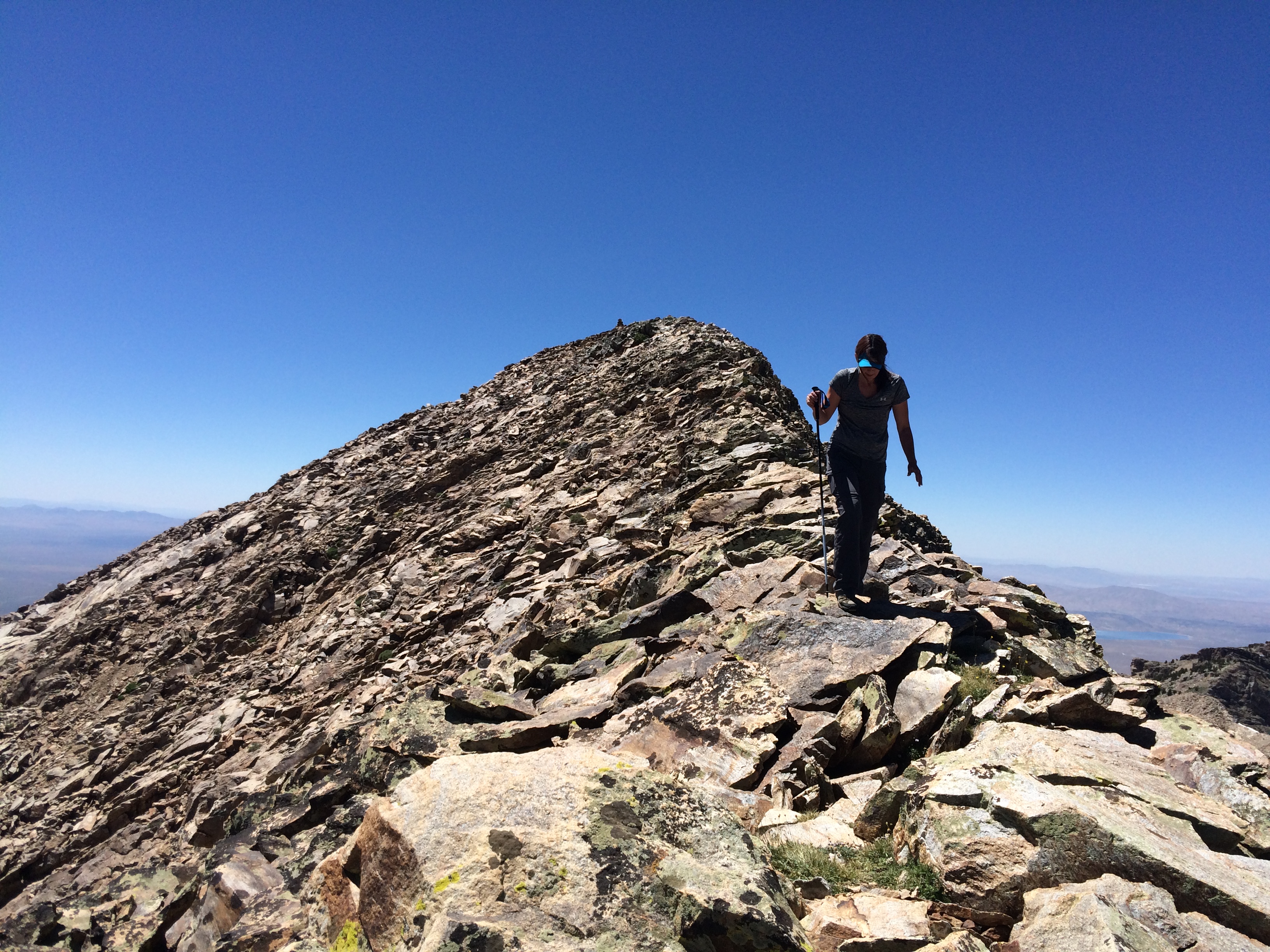
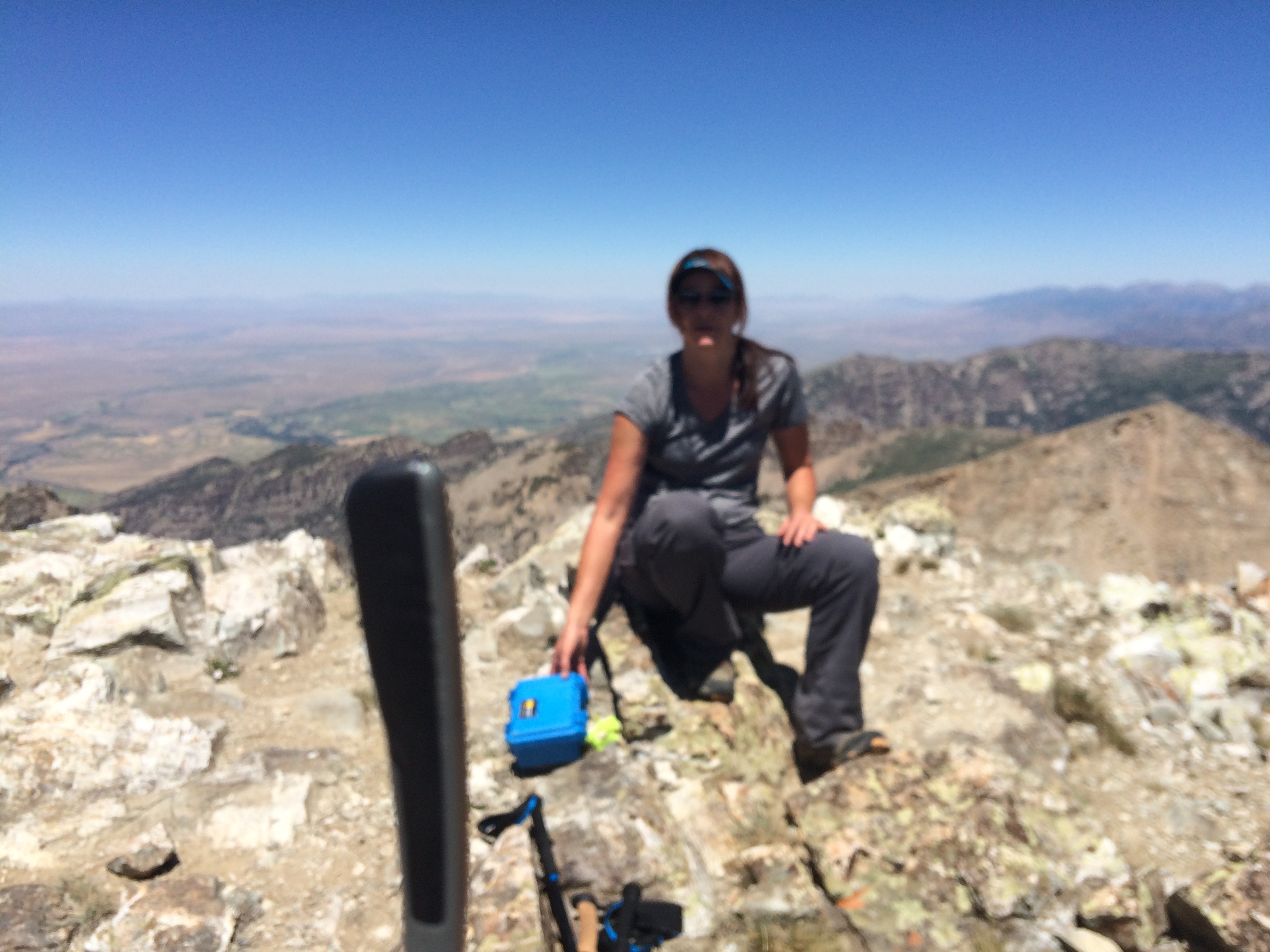
Check out Part 1, Part 2, and Part 4! Day 3 : The Suspense Is Killing me Sunrise on the third day of this East Fork Owyhee River adventure brought bluebird skies and one...

Adventure / Camping / Paddling
by sboyce42 · Published October 29, 2021 · Last modified April 9, 2022
Continued from Part 1. Crutcher Shuttle Camp The itinerary called for us to shove off from Garat Crossing at about 10:00 am. I figured that we could live with a bit of a sleep...

Adventure / Camping / Paddling
by sboyce42 · Published October 25, 2021 · Last modified April 9, 2022
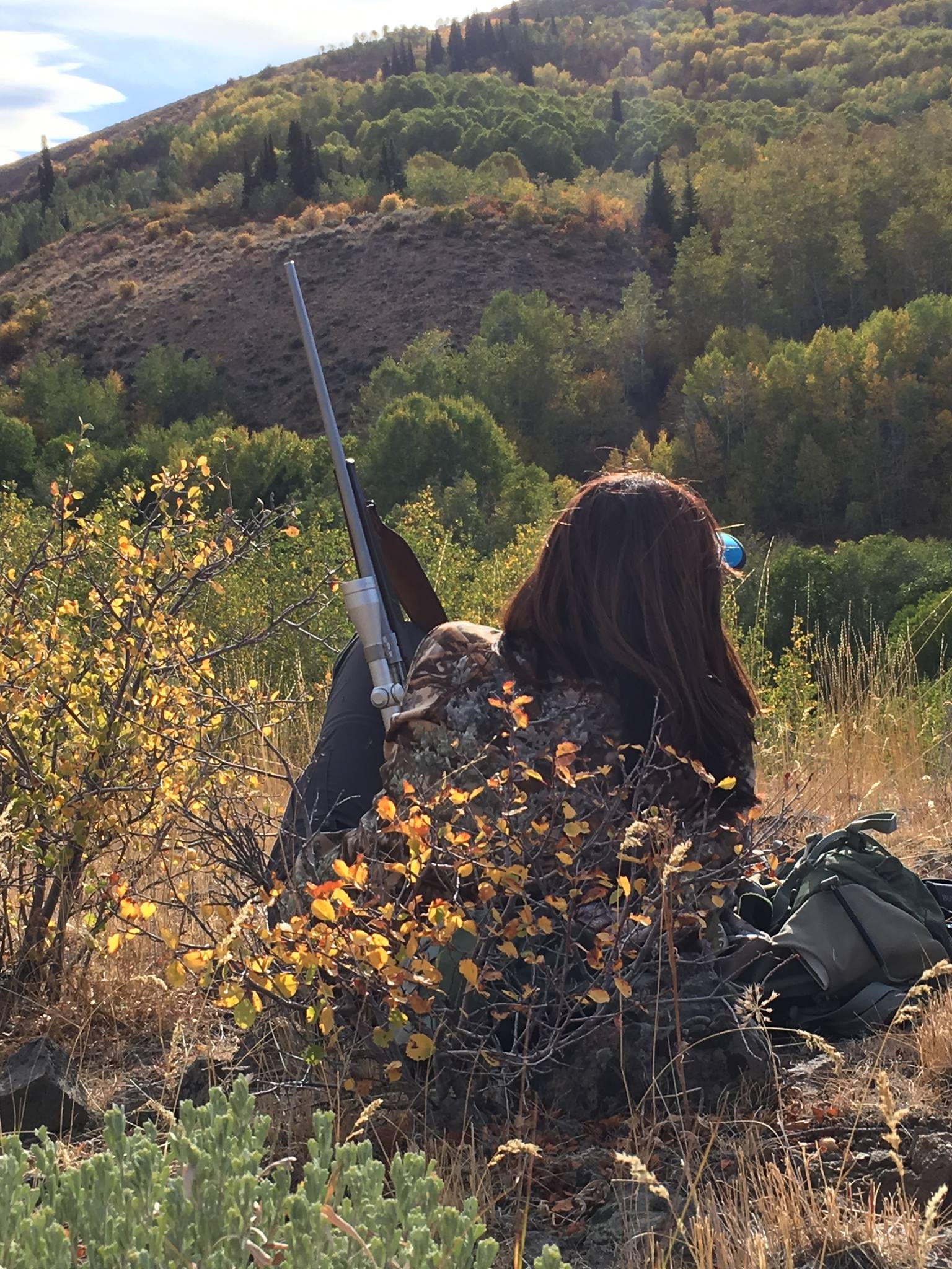
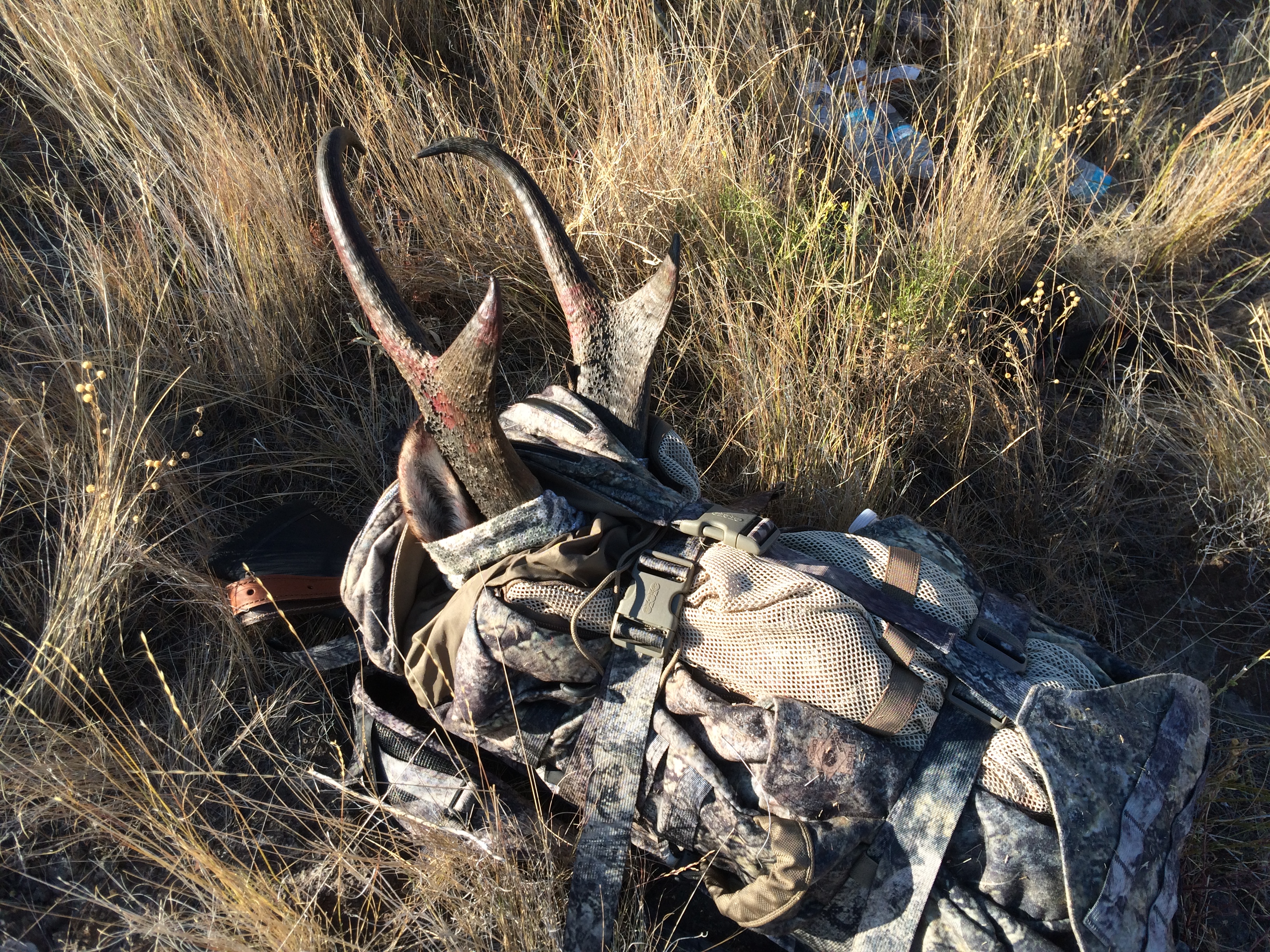
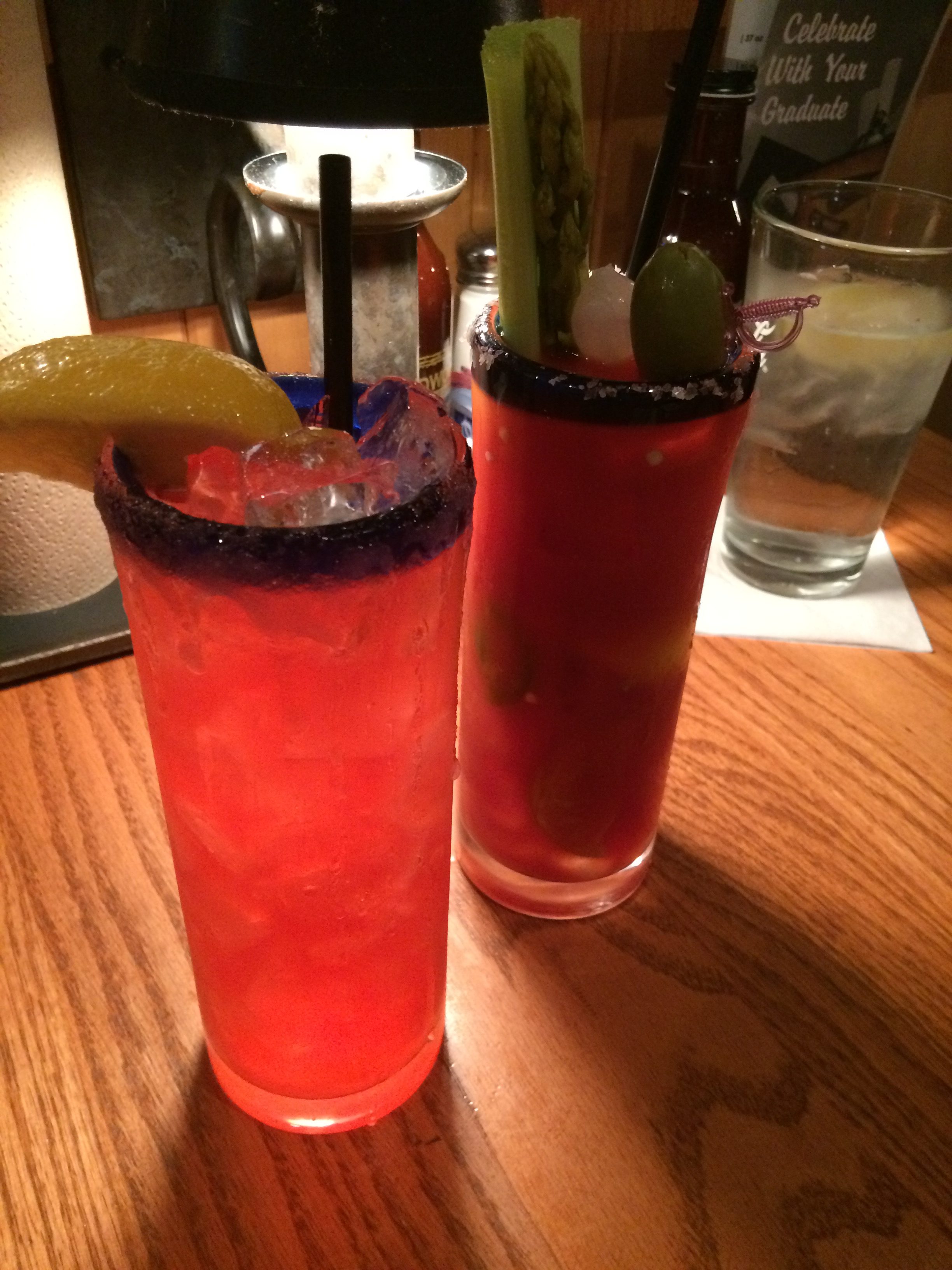
There’s Always One in the Bunch I blinked once or twice, not sure if it was the multiple double-IPAs or if Ken had really said “yes”. Now, before we go too far, not THAT...

Adventure / Backpacking and Hiking
by sboyce42 · Published September 9, 2021 · Last modified April 9, 2022
Down, But Definitely Not Out! As we dragged our worn and sore bodies into Bryce Canyon National Park from our Escalante adventures, Peekaboo and Spooky Slot Canyons and Coyote Gulch, we were looking for...

Adventure / Backpacking and Hiking / Tours and Vacation
by sboyce42 · Published June 14, 2021 · Last modified April 9, 2022
Part 2: The Best Way Out? Day Two in Coyote Gulch (Part 1 Here) Since we’d only carved out 4 of our 11 miles on day one, we knew we needed to start the...

Adventure / Backpacking and Hiking
by sboyce42 · Published June 14, 2021 · Last modified April 9, 2022
What the Hell is a Slot Canyon? This is the third tale of our April 2021 adventure in the Escalante, Utah area, as we set up an exploration of Peekaboo and Spooky slot canyons....
More

Recent Comments